All Services
Explore our comprehensive range of geospatial, AI-powered, and data-driven solutions designed to support informed decision-making and sustainable development.
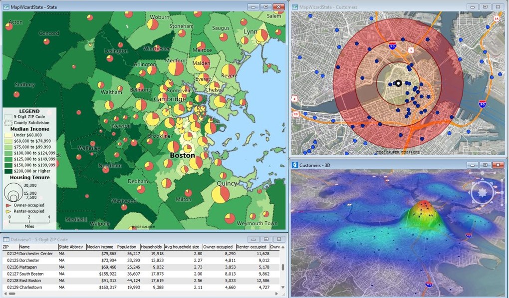
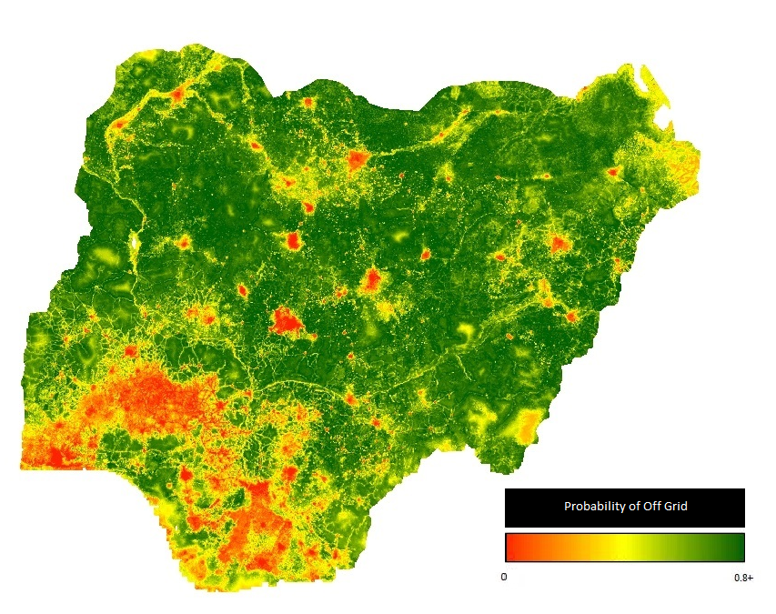
We design and deliver customized geospatial analyses and high-quality maps tailored to your project goals, enabling accurate planning, monitoring, and decision-making.
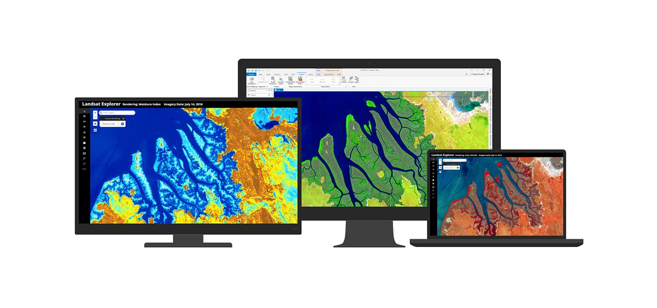
Our remote sensing services use satellite and UAV data to monitor land use, vegetation health, and environmental change with precision and reliability.
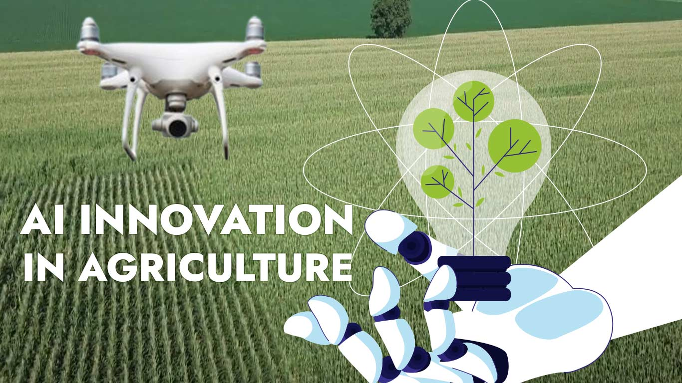
We develop intelligent models for yield prediction, climate risk assessment, and spatial forecasting, turning complex data into actionable insights.
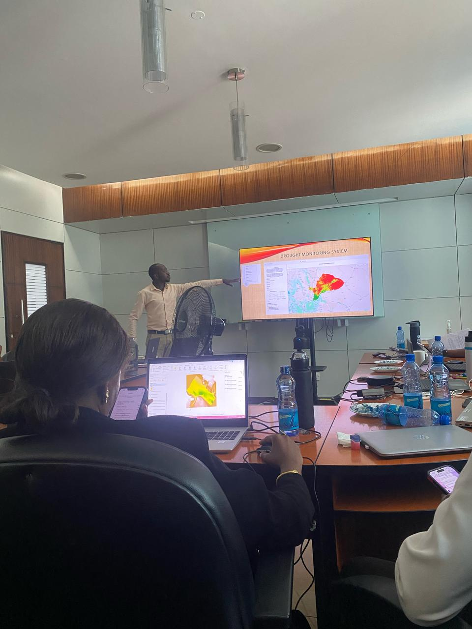
Transform your data into interactive GIS platforms and dashboards that simplify visualization, reporting, and real-time monitoring.

We offer hands-on training in GIS, remote sensing, AI, and spatial data management to build local capacity and ensure long-term sustainability.
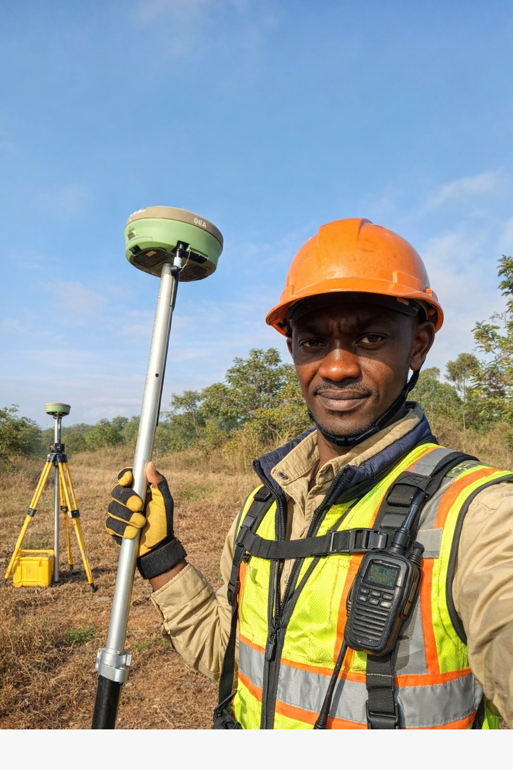
We provide accurate land surveying and spatial data collection services using modern GPS, UAVs, and GIS tools to support land administration, infrastructure planning, and development projects.
Years of Experience
Our Legacy
Our depth of experience enables us to deliver reliable, high-impact geospatial and environmental solutions across projects of varying scale and complexity. We combine innovation, precision, and integrity to produce results that support sustainable development and informed decision-making.