Data-driven solutions using AI, GIS, and remote sensing for agriculture, climate resilience, and sustainable development.
High-impact geospatial and AI solutions delivered using open-source tools to keep costs affordable.
Solutions designed to enhance climate resilience, sustainable agriculture, and environmental protection.
We work closely with farmers, NGOs, and governments to deliver practical, locally relevant insights.
Advanced geospatial, climate, and AI-driven analytics supporting crop research, trials, and evidence-based agricultural studies.

Geospatial Spear Ltd is a data-driven geospatial and AI innovation company empowering agriculture, research, and development sectors with actionable spatial insights. We combine GIS, remote sensing, and artificial intelligence to support climate resilience, sustainable agriculture, and evidence-based decision-making.
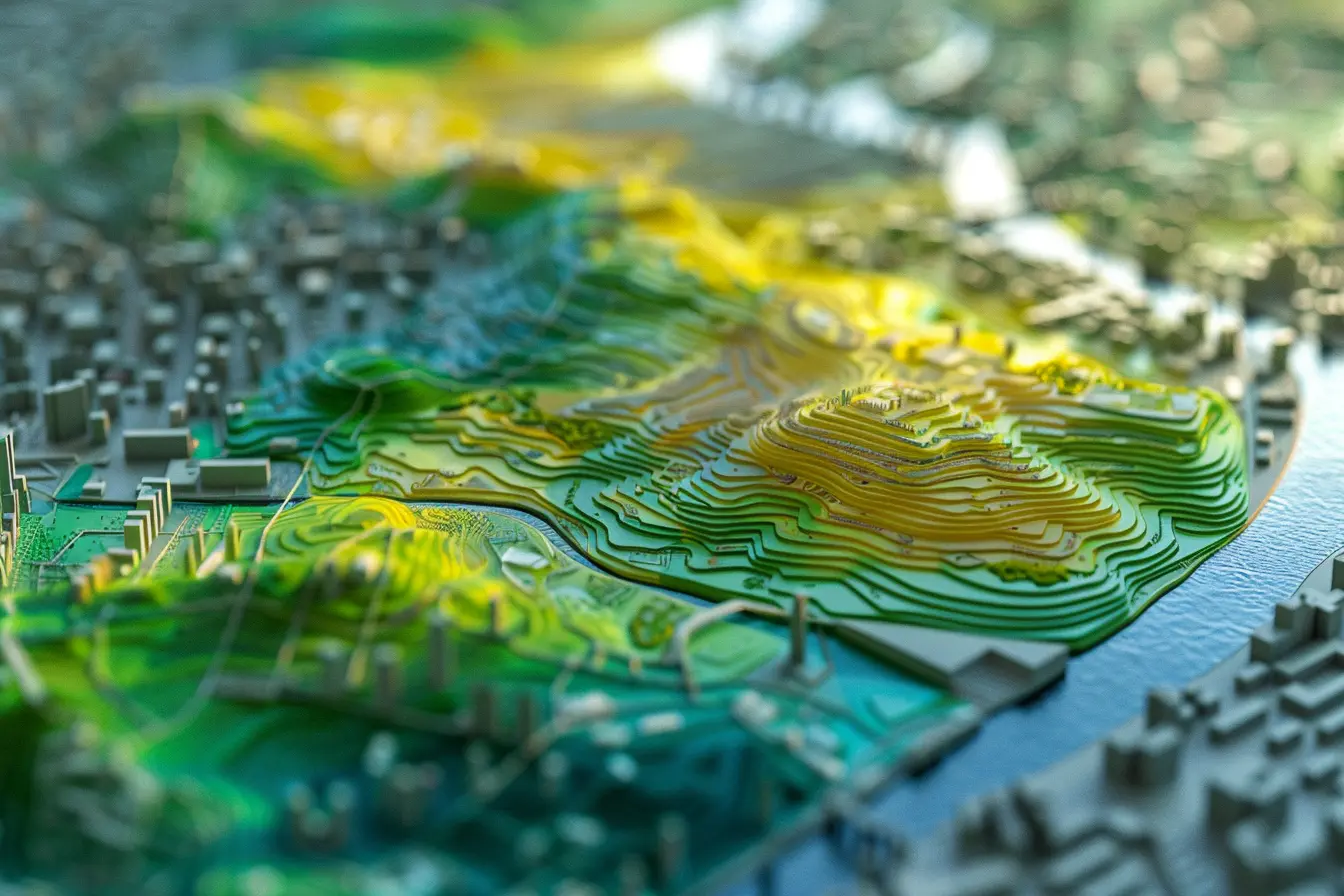
Advanced GIS, satellite imagery, and AI-powered analysis for agriculture, climate, and land management.
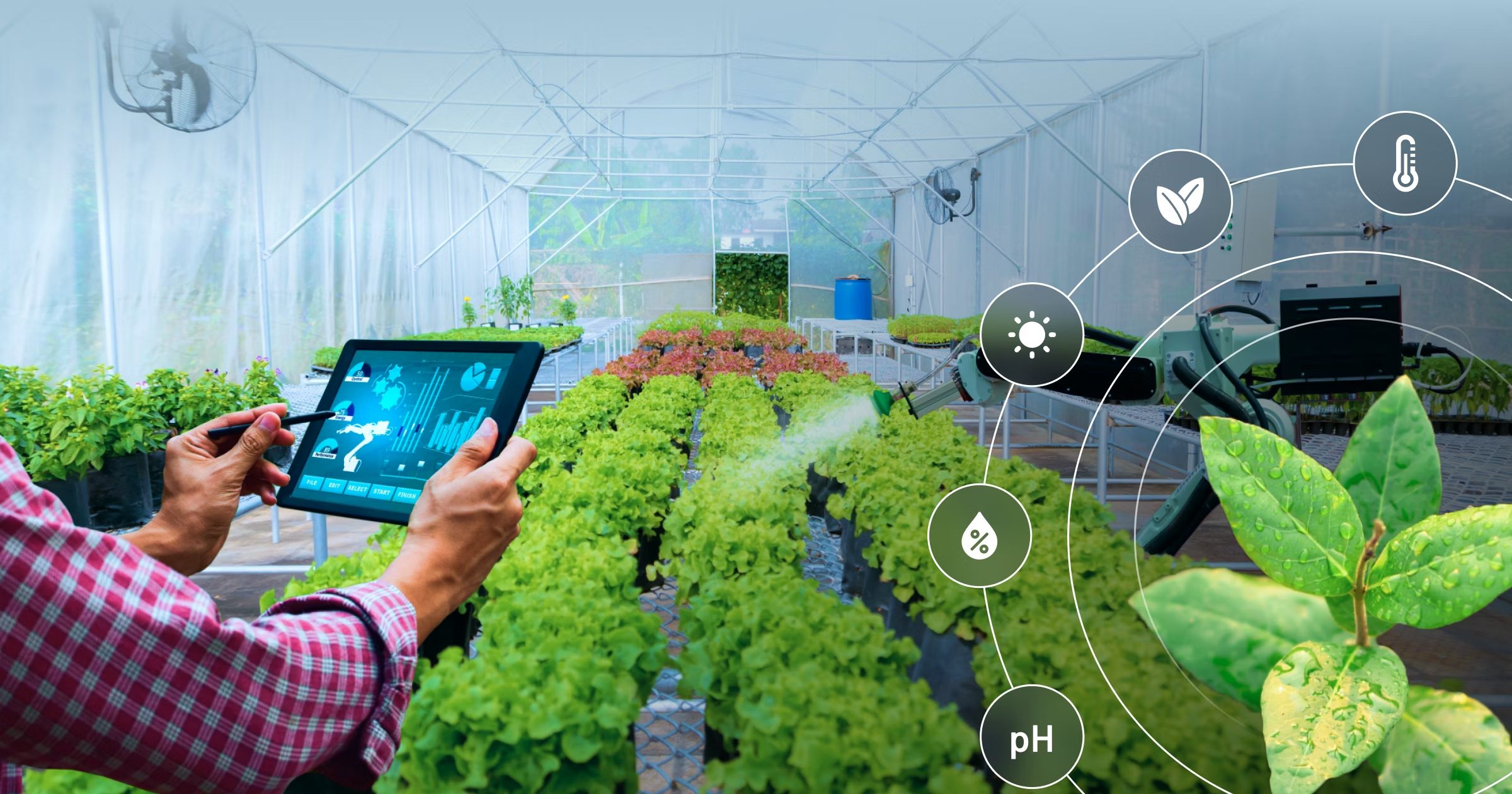
Crop health monitoring, yield prediction, and early pest detection to support climate-smart farming.

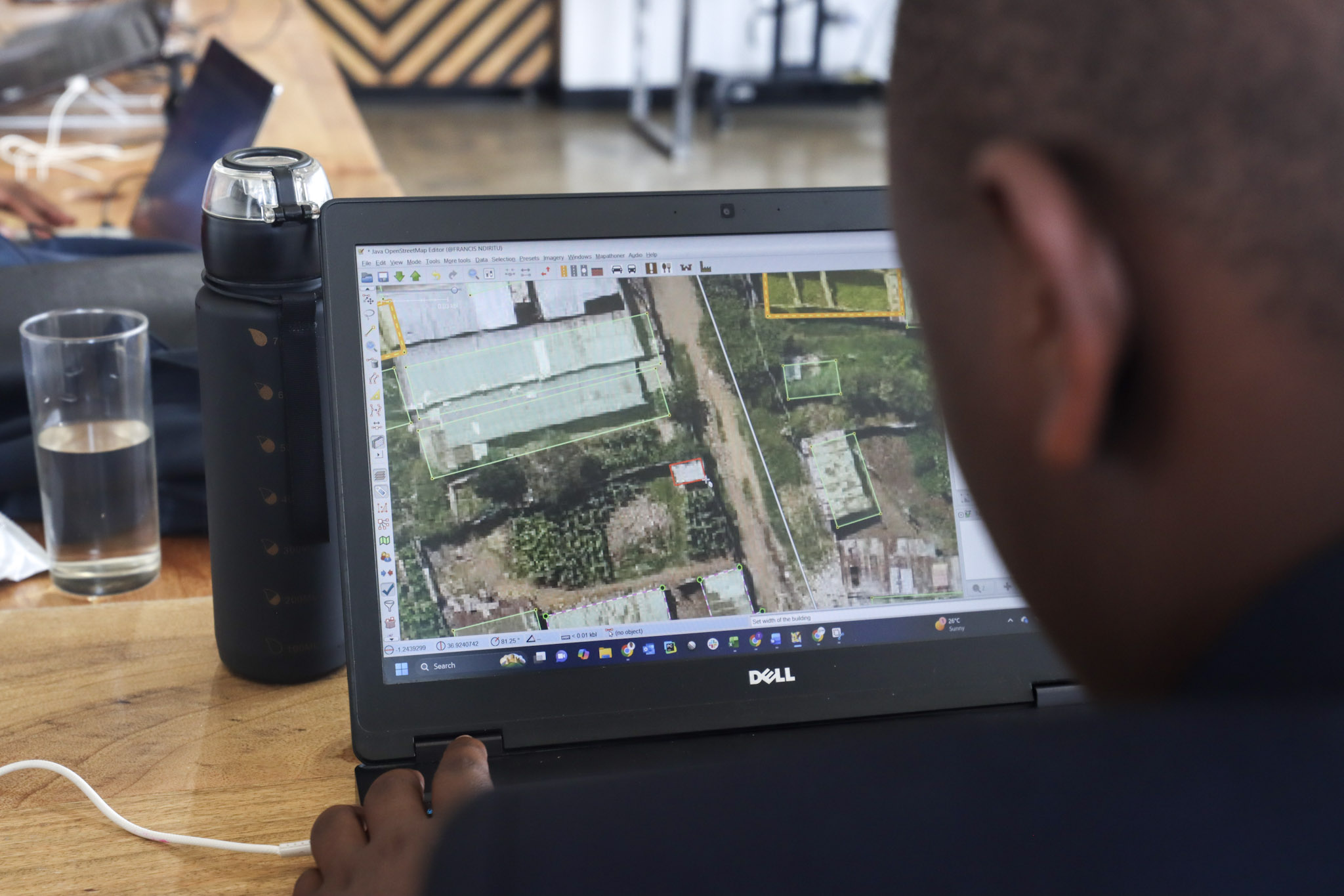
Capacity building, OpenStreetMap projects, and community-driven mapping for inclusive development.